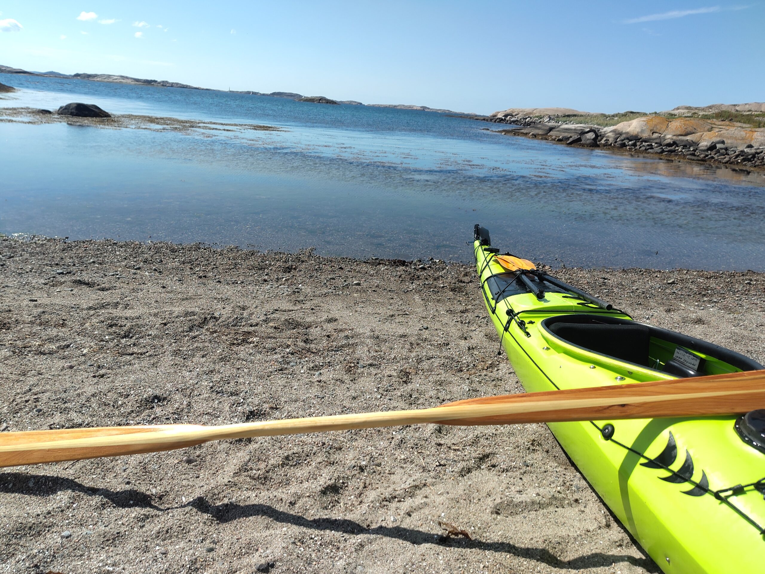
Some time back I visited a friend of mine in Amsterdam. And during our tour on the canals of Amsterdam we talked about how awesome it would be to have specific kayaking infrastructure available in maps like OpenStreetMap.
During the preparation I already realized that a lot of information for kayakers is actually not available. When planning my tour from Haarlem into Amsterdam the main questions where whether I can manage a portage around the lock I have to pass? Are there places to take the kayak out and to set it in on the other side?
Especially the height is usually tricky. Locks for example are built for motorboats. So most of the time the access for very low boats like kayaks is not considered. And even if so, traveling alone usually isn’t.
So we thought how awesome it would be to add all that information to OpenStreetMap! Being able to immediately see where one can take out a boat (because the quay is only 20cm high and not 3 meters) or put it back in etc. pp.
We had a great time in the canals but didn’t touch the topic after that.
Until recently I wanted to plan another tour and realized that exactly that information was not available on another part of OpenStreetMap as well. But some information was abailable
So there must be some options to map kayaking infrastructure in OpenStreetMap. And that was the point where I dug into it.
General considerations
There are generaly two different ways to map kayaking infrastructure – which doesn’t really help!
One uses the whitewater tag and the other one uses the canoe tag information.
Places to put boats in or out
So a place to put boats in and out can be tagged as
- leisure: slipway
- canoe: put_in;egress
- whitewater: put_in;egress
The leisure:slipway marks a slipway that can also be used for motorboats. One can drive a trailer into the water to put the boat on top into the water. So this is a rather generic one and I would always also mark them with one or both of the others.
The other two are specific for canoes and kayaks. Note that there is no distinction between the two in OSM! And there is also no distinction between different kayak-types like whitewater or seakayaks!
Which one is better?
Well. The canoe one is in my opinion the better one and as far as I understood also the by now accepted one. But there are apps out there that render the OSM-Data and they use the whitewater tags for legacy reasons. So whenever I am editing OSM-data, I try to remember to include both.
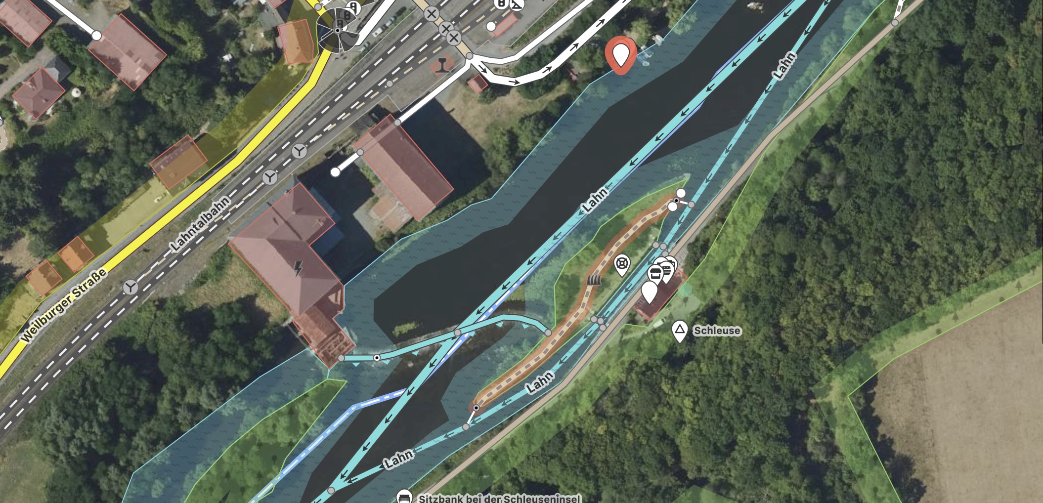
Portages
I live near the river Lahn where canoeing is a famous tourist attracktion. Also in our area we have the only still open ship-tunnel as one of an ensemble of three (more or less parallel) tunnels.
And the Lahn also contains a lot of locks. In the upper part those are even self operated which makes them a fun attraction for the canoers.
For kayakers they are a nuisance as getting out of the boat is always a bit trickier and when you are on a tour on your own there’s always the trouble of having to tow your boat…
So I usually try to do a portage – which most of the time is also faster.
Mapping them is a tad more complex, so I will tackle that in a separate post.
More information
More information on how to map kayaking infrastructure on OpenStreetmap is available in the OSM wiki. Here are some pointers: